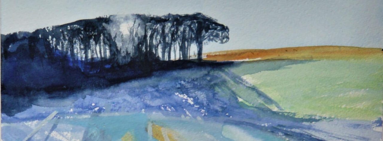
I really thought I had already written a post about Coll, from our first visit there eight years ago, but it seems not. But we were lured back there earlier this year, as we knew we would be, sooner or later, so here’s a few random shots from both this visit and the first one.
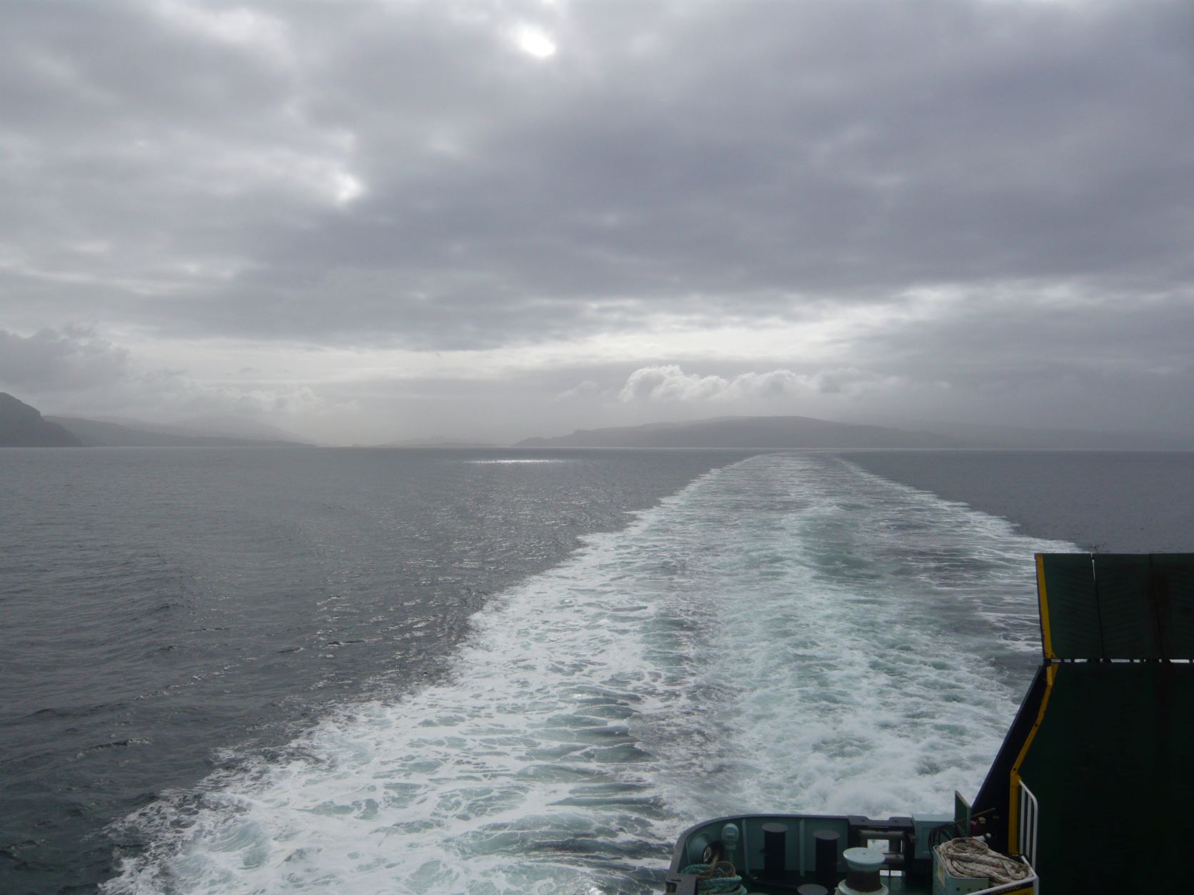
I love travelling to an island on a ferry. It is comparatively slow travel and you get a real sense of the distance travelled and the mood of the world you pass through. It takes two hours forty minutes to reach Coll from Oban; not a huge amount of time, but time enough to realise you’re no longer on the mainland.
Arinagour is not the largest capital city in the world. Although it is the main settlement on Coll, it only has a population of around 50. Although the entire population of Coll is only between 150 and 220 permanent residents, depending on which source you consult.
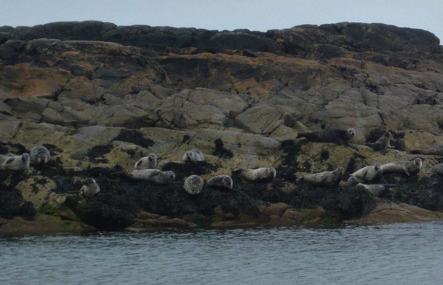
About halfway along the coast on the northern side of the island, there is a bay called Bagh an Trailleich. On our first visit, we walked there hoping to see some seals, but were disappointed. This time, there were about fifty seals on this small island in the bay
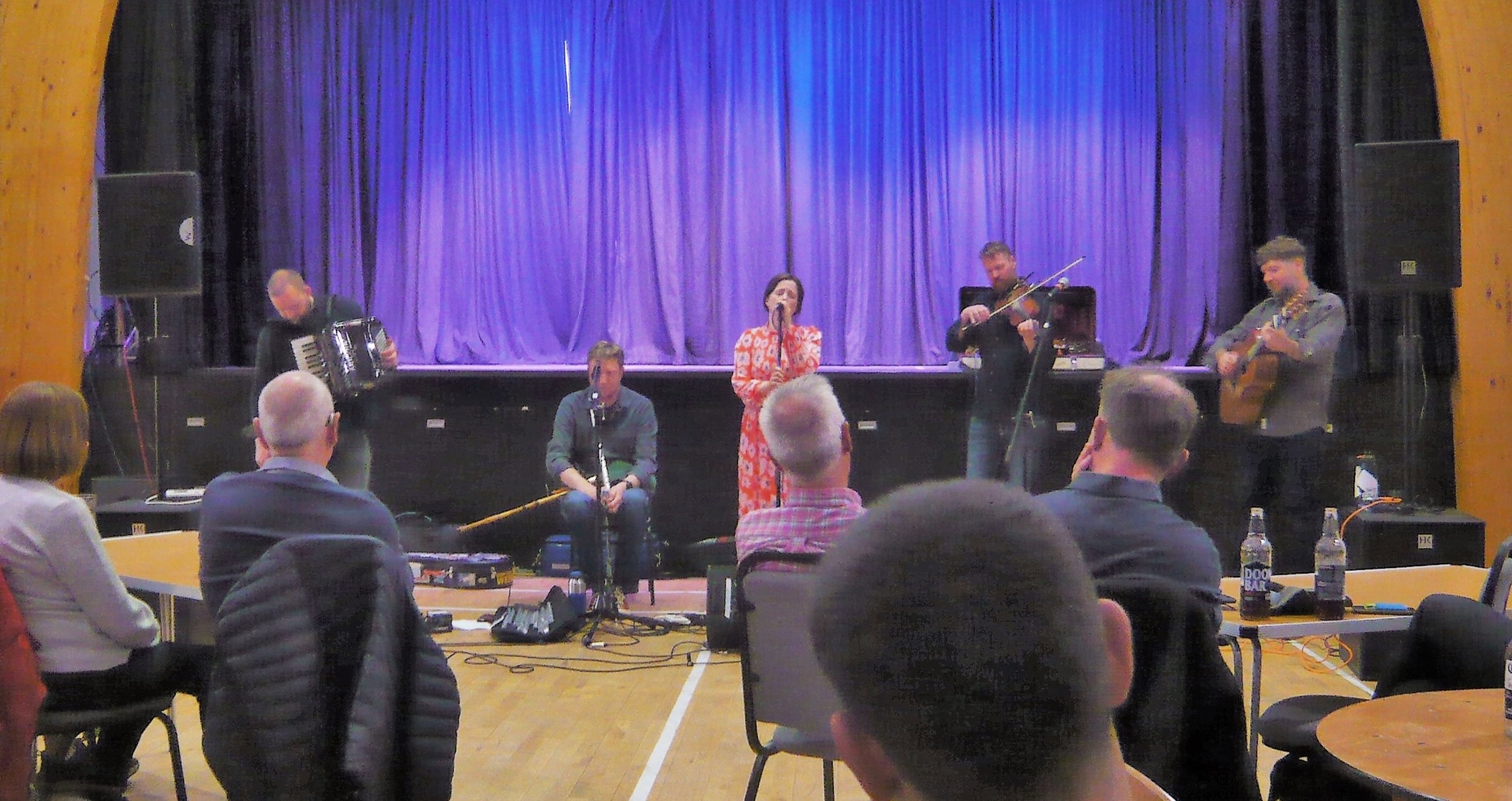
Our cottage was five minutes or so walk from the ferry, and having left our bags there we walked the short way to the island community centre, where we knew there would be a Saturday market and we intended to buy a few treats (homemade cakes, jam, and the like) for the week. While we were there, we saw a flyer for a gig by Daimh (pronounced ‘dive’) on the Wednesday evening. All we learned from this flyer was that they are a Scottish folk group and we thought that sounded like a good evening. On the Wednesday evening, we learned they are frequently described as a ‘Scottish Super-group’, and quickly discovered why. It was one of the best concerts I’ve been to. If you fancy a taste of what they do, I recommend this: Daimh live at Celtic Connections
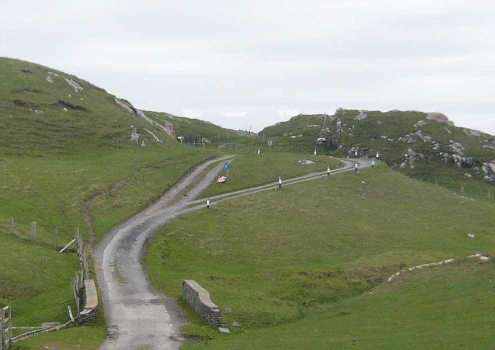
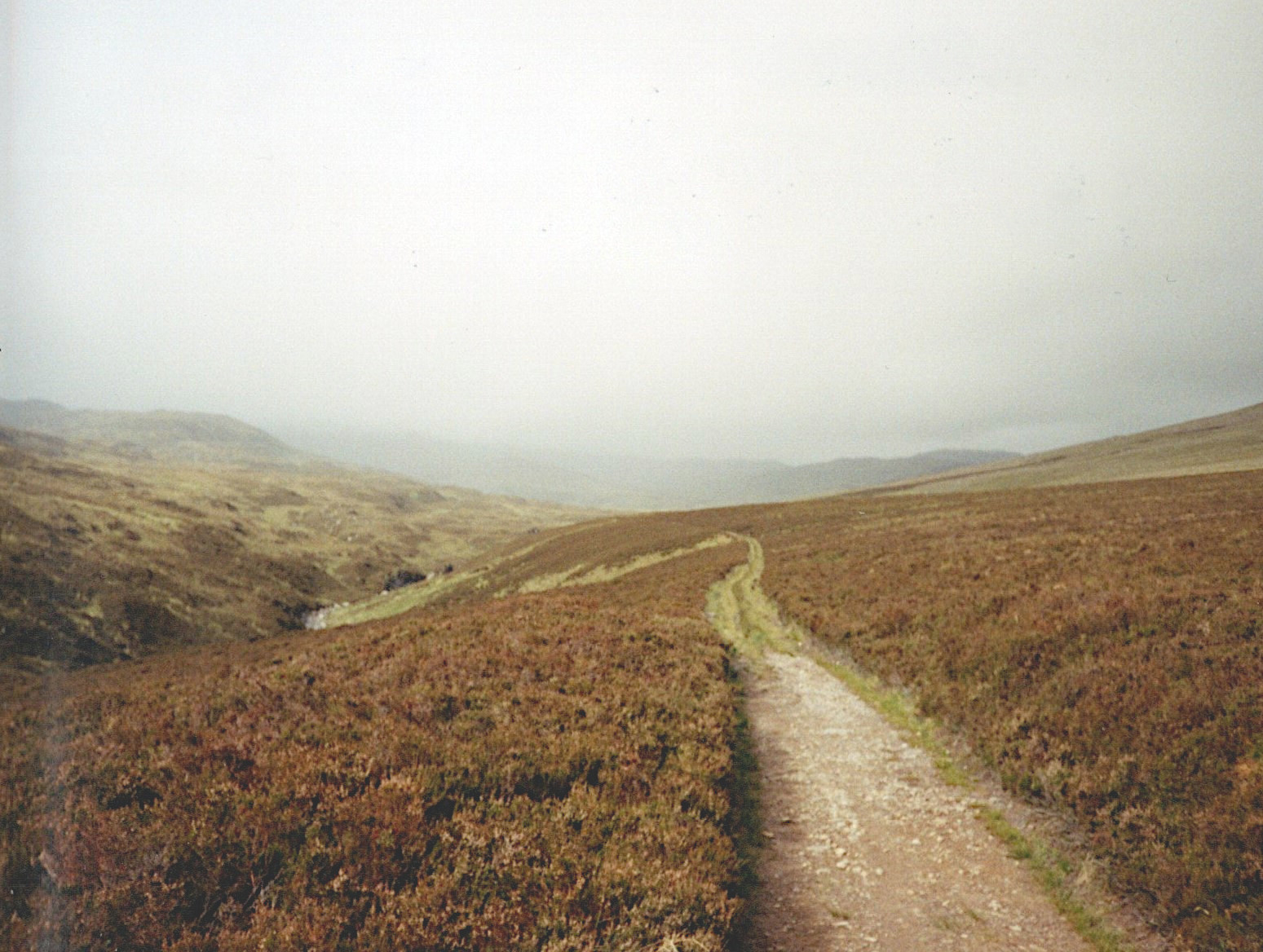
There is just one stretch of dual-carriageway on the island, a length of less than fifty metres, and it’s very difficult to understand why it’s there. There are three main roads on the island, all ‘B’ roads, and this stretch is along the one leading to the hamlet of Sorisdale. As you can see, it’s not the busiest road in the UK, but it may be the shortest stretch of dual carriageway.
Someone is bound to know.
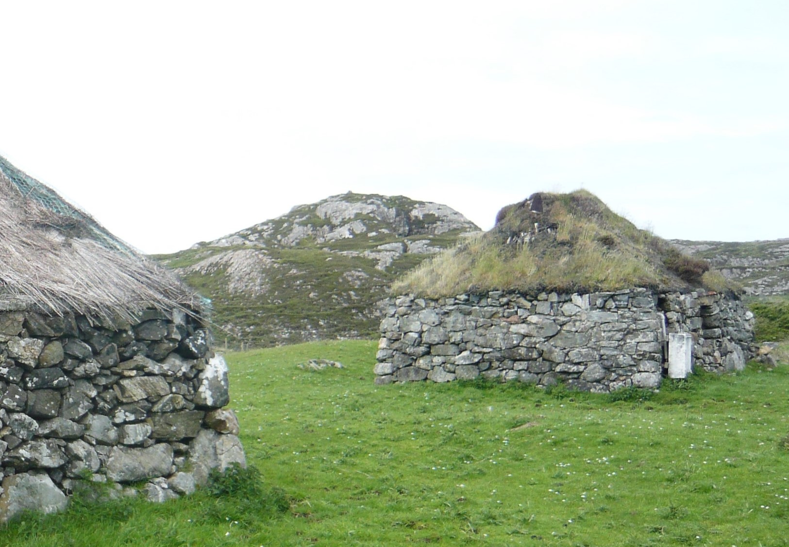
Sorisdale is a former crofting and fishing village at the north east end of the island. There are a couple of modern houses there, but also a number of old cottages with turf or thatched roofs, in various states of repair or disrepair.
And because it’s Scotland, here’s yer Highland coo. Yer’ve met him before.
Today the intention is to take it as easy as possible.
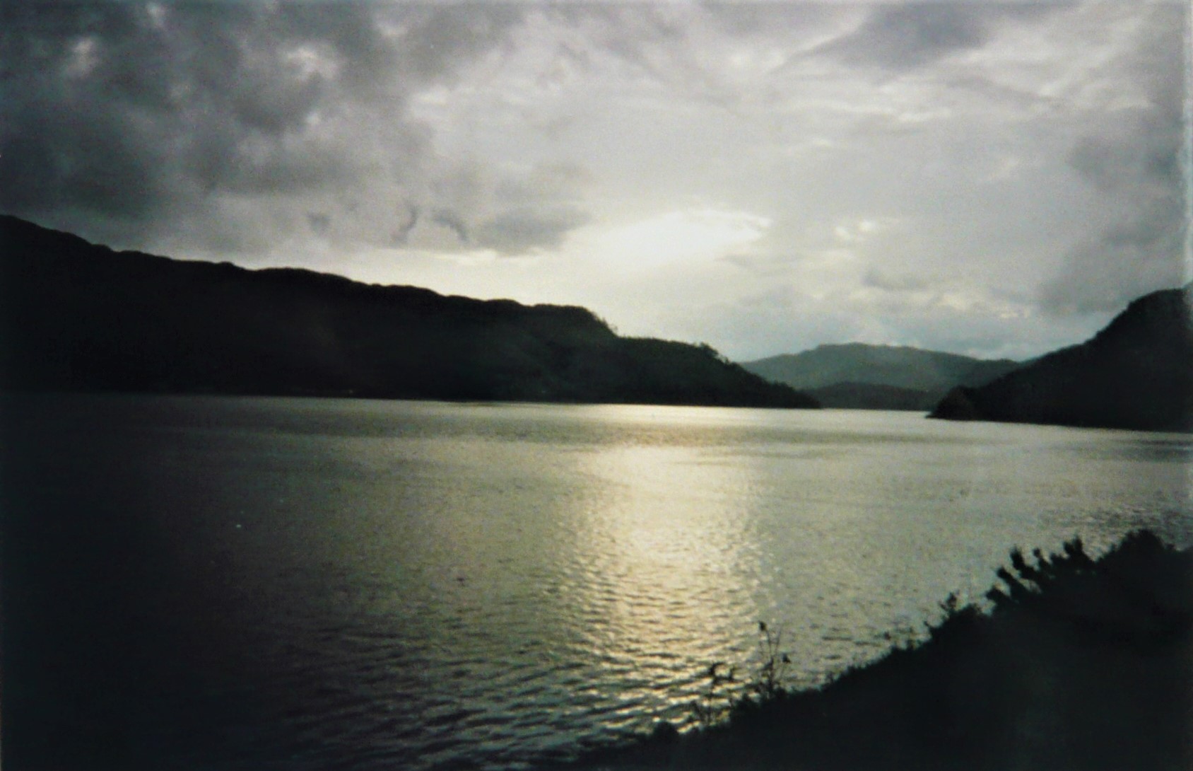
Loch Duich
Last night, after a fruitless search for treats I cooked myself some supper and then decided to walk on for another half a dozen miles or so with a view to just leaving a token walk into Kyle of Lochalsh. But I’d already done a good twenty miles already, and it was a really stupid move. Eventually I bivvied just off the side of the road, with the weather closing in rapidly. Clouds were rolling down the mountainsides and coming up the loch. By the time I was in my sleeping bag all hell broke loose. I don’t think I’ve ever heard anything like it. The wind howled and shrieked and at times it screamed. And the rain that accompanied it absolutely hammered down. It seemed to go on for most of the night and I lay there unable to sleep for the noise.
Castle Eilean Donnan
But by six the rain had stopped and the wind dropped, although it was still having a good old blow. I got up, packed up, then walked a mile or so back up the road to get a photo of Castle Eilean Donnan which I’d passed in semi-darkness the previous evening.
Through the rest of the morning I walked along the side of the loch through alternate rain and sun and constant gusting winds. Or perhaps ‘limped’ would be a better description, since I was now extremely footsore, and perhaps that contributed to a slight sense of let down when I got to Kyle. Still, that was my target and I’ve achieved it in around three and a half days. I will have covered around eighty to eighty five miles and since a lot of it was over steep hills and bog, I’m quite pleased with that.
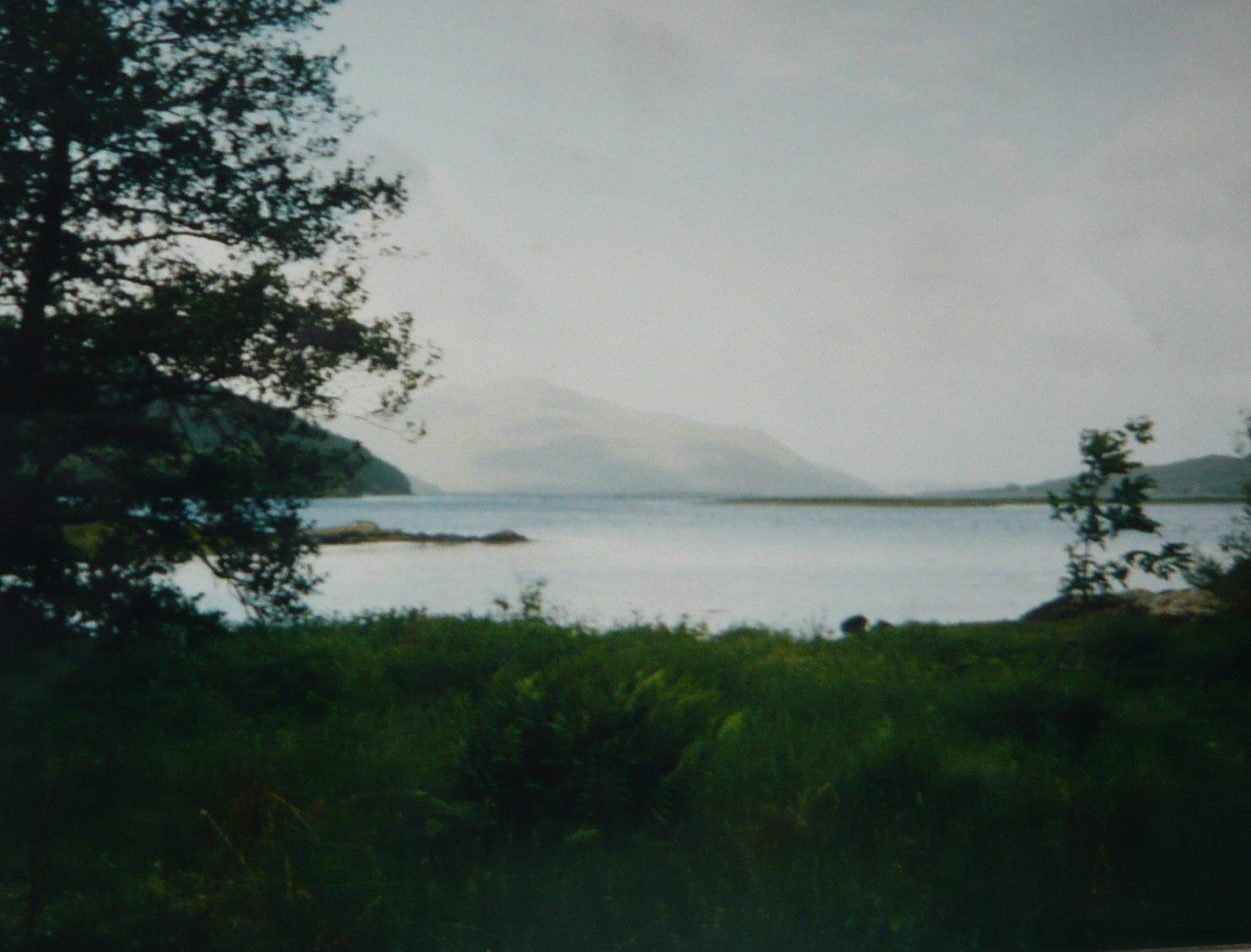
Looking down Loch Aish towards the Isle of Skye
I think it’s important to state here that even if I still enjoyed the same levels of fitness and stamina I enjoyed almost thirty years ago, and was able to repeat this walk, I would not do it this way.
I’ve no wish to set records and, really, I did not wish to do so then, but there is a sort of perverse pride that says ‘Look, I can walk thirty miles a day’, although that is not the only reason I covered so much ground each day. It was the middle of summer in Scotland, with very long daylight hours. The temptation to use them to do ‘just another couple of miles’ was too much at times.
Skye from Kyle of Lochalsh
And now I’m in a cheap guest house and about to have a shower and go out to find a café. Or maybe even a pub.
It rained during the night, but when I emerge from my bivvi in the morning it has eased to an occasional drizzle. Down the valley to the east, the sun is glittering on the trees, while the hilltops are shrouded in cloud. Cotton grass and heather dance around me in the breeze, and it is warm.
Glen Coiltie, looking west.
Through the morning, I work my way further west up Glen Coiltie, the wind slowly increasing in strength and the drizzle turning gradually to heavy rain. When I top a final ridge and begin to head down towards Loch Aslaich the wind positively howls. I plod along and gradually up onto a plateau where the path simply disappears. With the low cloud drifting across at ground level this becomes a good test of my navigational skills.
The weather worsens again. At times I stop just to retreat further into my waterproofs rather like a turtle withdrawing its head into its shell. It is a lovely landscape, desolate and wild, but just too wet and windy to enjoy, never mind even to think of taking any photos.
By the evening I am alongside Loch Beinn a Mheadhoin, after a long, wet, day. For a couple of miles I had been looking for somewhere to camp, but the path was through old pine forest and the ground was several feet deep in fallen logs and branches, all covered in moss and lichen. Eventually I find a spot near a waterfall amongst a few birches at one edge of the lake. It is a lovely spot, but I know what will await me in the morning.
21st April 1994
I unzip my bivvi and immediately a huge cloud of midges descends upon me. I forego breakfast for the moment and pack up as quickly as I can, flapping my arms around ineffectively and swearing my very bestest swears.
Not the best place to camp, beside open water with lots of tree cover
Soon enough, though, I am away from the water and ahead of me snowy peaks rear up above the trees. The thrill is upon me again! As I walk through the morning, the clouds are lowering and thickening again, but for now the rain holds off, for which I am thankful. It had been so wet the previous day the rain had managed to soak everything inside my rucksack. During the night I had gradually brought maps and clothes into my sleeping bag for my body heat to dry out. By the morning probably about half of it was dry.
It is colder than yesterday. The snowline looks to be lower here; I am at about three hundred meters and there are pockets of snow level with me on the mountains nearby. But with the improved weather as well as the scenery, my mood is much better and I am enjoying just being part of the environment. It reminds me of other walks and treks I have done – I keep thinking of Nepal! – and in this mood the miles seem to melt away as I walk. The previous day, at one point I had managed less than five miles in three hours up on the plateau in the atrocious weather, so this day is a huge improvement.
The Five Sisters in the distance and Creag a Chaorainn on the right,
I follow a river for a while, and where the water is moving slowly I can really appreciate how beautifully crystal clear it is, even though it has a deep brown hue from the peat. There are tiny orchids in the grass, although I don’t know their name, but few other flowers just here.
An Tudair on the left and Sgurr na Lapaich on the right
And now I pass a couple of walkers and we stop for a brief chat. These are the first people I have seen since leaving Inverness and although yesterday the weather was so bad that only idiots would have been out in it (or one idiot, anyway), in a world of five and a half billion people, to spend a whole day travelling without seeing another soul from dawn to dusk is an increasing rarity.
River Affric near Athnamulloch. The sheep track is so worn it has almost become a tunnel.
I stop for an early lunch and then soon after I set off again I find the path disappears in a particularly boggy area and, predictably, it begins to rain. I take a compass bearing and step forward cautiously. Half a kilometre later I find the path again and the rain stops. Now I go uphill again, over the Eionngleann (lots of these names sound as though they come from Lord of the Rings), down into a long valley where the weather comes in again, and down to the village of Carn-gorm. The village sits at the head of Loch Duich, which joins Loch Aish and this opens up to the Atlantic Ocean. I’m definitely in Western Scotland now. Now to see if there’s anywhere in the village to get a pizza or something more interesting than what’s left in my rucksack.
Eionngleann
Looking North West down Gleann Lichd, my route down to Carn-gorm
My coach got into Inverness at 8.10pm after almost twelve hours on the road, and I was more than ready to begin walking. With over two hours of daylight left, I aimed to get well clear of the city and find a good spot to camp for the night. I grabbed a bag of chips from a chippy, then followed the Caledonian Canal southwest for about four miles, left it and climbed a little more to the west to find somewhere to sleep. I filled my water bottle from a stream, then wandered into a little wood and got out my bivvi tent and settled down for the night, black clouds heading slowly towards me as I did so.
Altourie – rain clouds coming in from the west. Torr Mor in Foreground
19th June 1994
This morning is dry and bright, but quite windy. I boiled some water for coffee and set off as soon as I could, intending to make the most of the good weather. Today I intend to cover quite a few miles on side roads which I hope will be carrying very little traffic and so get a substantial fraction of the journey under my belt before the weather gets any worse. This is Scotland, after all. I‘m expecting rain. It should also break me in gently, being easier ground than much I expect to have to walk. So, I’m aiming for Urquhart Castle, which overlooks Loch Ness and will be a slight diversion from my route but I just fancy having a look at it, and from there I can leave the road and follow the river southwest through Glen Coiltie before turning further towards the west.
As soon as I set off, I was walking straight into the teeth of a strong wind. Long distance footpaths are usually walked from west to east, at least in Britain, and there is a strong argument for that; we get the majority of our weather from the west, so by doing that we have the wind (and whatever it brings with it) at our backs. I’m walking it in the opposite direction not just because I am naturally perverse – or not only for that reason, anyway – but because the more interesting and exciting scenery will be on the west side of the country, and hence my destination. Walking from west to east I feel I would arrive at my destination with a certain amount of disappointment, with all due respect to Inverness which is a delightful city, but I’m after the spectacular wilderness.
So, into the teeth of a strong wind. It is not long, though, before I am walking through Abriachen Forest and I stop for a rest sheltered from the wind.
Abriachen Forest
I rather think Abriachen Forest has changed a little since I passed through there in 1994. I remember it as a dark wood of densely planted conifers, typical of the conifer woodlands planted in the middle to late twentieth century with the intention of producing the maximum possible yield of wood. The trees allow so little light through that other than the trees themselves – Douglas Fir and Sitka Spruce, typically – these plantations (forest is the wrong word) house very little life. But in 1998 the community of Abriachen (a small village) purchased 540 hectares of the woodland and since then have been improving it – thinning the trees, reintroducing native species and creating footpaths and trails.
But on the edge of the forest, and beside the road, there are a multitude of flowers: vetches, Ladies smock, and violets, particularly catch my eye. I draw away from the forest and I am back amongst a more natural landscape, with banks of pepperminty smelling gorse, occasional rowan trees in blossom and heather beginning to flower.
In places, the ground is bright with cotton grass
Now, for the first time, as I leave the road and walk uphill along a track towards the farm of Achpopuli, I get my first good view of large snow-covered mountains to he west. Once past the farm, I am on a supposed footpath heading up towards a saddle between two hill crests but the ground is extremely boggy and proves to be a taste of much of the rest of the route. My feet sink about six inches into either water or soft moss and heather, slowing my progress significantly. But then I m over, and down to a small loch where I stop to refill my water bottle and have a wash. I am surprised by how warm the water is, and I brave a quick dip as well as a shave.
Loch Glanaidh
On, then, to Urquhart Castle and then a little further out of my way to visit Divach falls, a waterfall with a drop of about a hundred feet. And near the bottom, primroses were still out.
Urquhart Castle and Loch Ness
Following a track up Glen Coiltie looking for a suitable spot to make my camp and cook supper I am walking through old forest, such a contrast to the plantation I walked through earlier. The trees are so covered in mosses and lichen it seems at times almost a wonder they are still alive. The path winds up and down and left and right and feels at times like a high mountain trail. Far below I hear the roar of the river, and for almost the first time that day feel I am absolutely in my element.
Eventually I make camp in a small hollow just below Carn a Bhainne. There is a low ridge towards the west which should shelter me from the worst of the wind. After I have eaten, I sit with a mug of tea looking across the river towards a snow pocket that is probably a couple of hundred meters higher than where I am.