
At Manang, we pitched our tents on the flat roofs of the buildings…
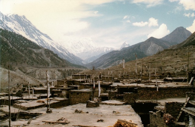
…essentially, it is the only flat area in the village that doesn’t either have someone living on it or crops growing on it.
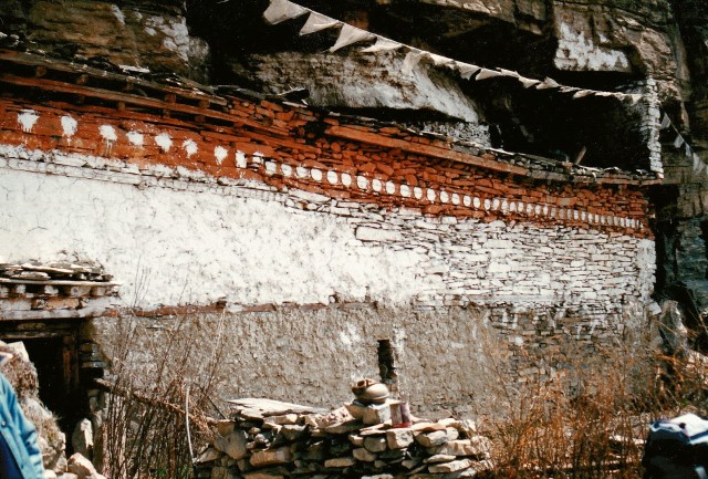
A Buddhist temple in Manang. We took care to visit the priest and receive his blessing for the crossing of the pass in a few days time. The high pass- Thorung La – is at 5416m and is the highest pass in the world, and who knows what the weather and fate might decide to throw at us.
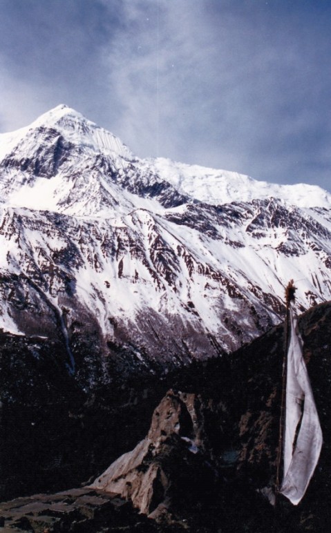
A view of Annapurna I (I think!) from Manang. Annapurna I is the tenth highest mountain in the world, but also one of the most dangerous. The reason for my uncertainty is that the route of the trek takes us around some twenty or so peaks, including Annapurnas I – IV, Gangapurna, Tara Kang and Khangsar Kang, all of which can be seen from the Manang part of the trail.

Nomadic herders’ camp above Ledar, at about 4300m. Theirs is not an easy life.
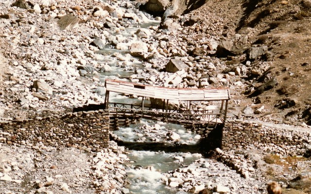
Bridge across the Khone Khola, near where we camped before crossing the pass. The bridge is covered to protect it from snowfall.
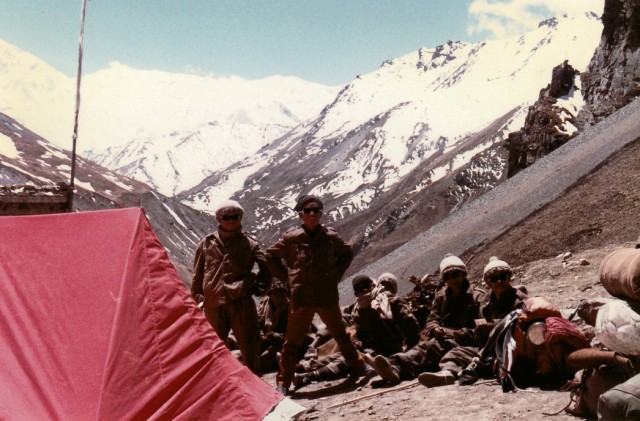
The porters at Thorung Phedi, where we camped before crossing the pass.
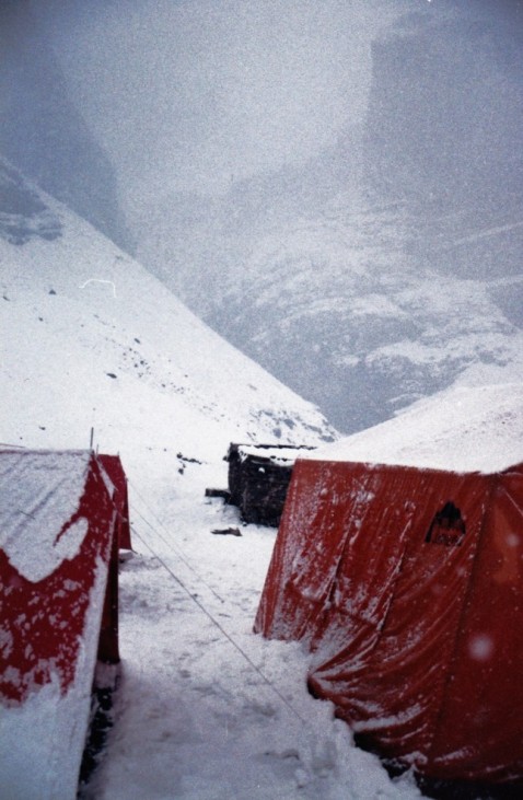
A couple of hours later…

We were snowed in the next day (and you can get very bored stuck in a tent for a day), but the following day we set off at dawn to cross the pass (Note the small figures passing the first rock).

Some of the rocky, icy, snowy, lumpy bits beside us as we crossed the pass.
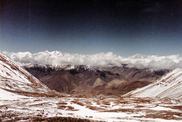
After several hours hard slog through the snow, and the pass crossed, we began descending the western side down towards the village of Muktinath.
