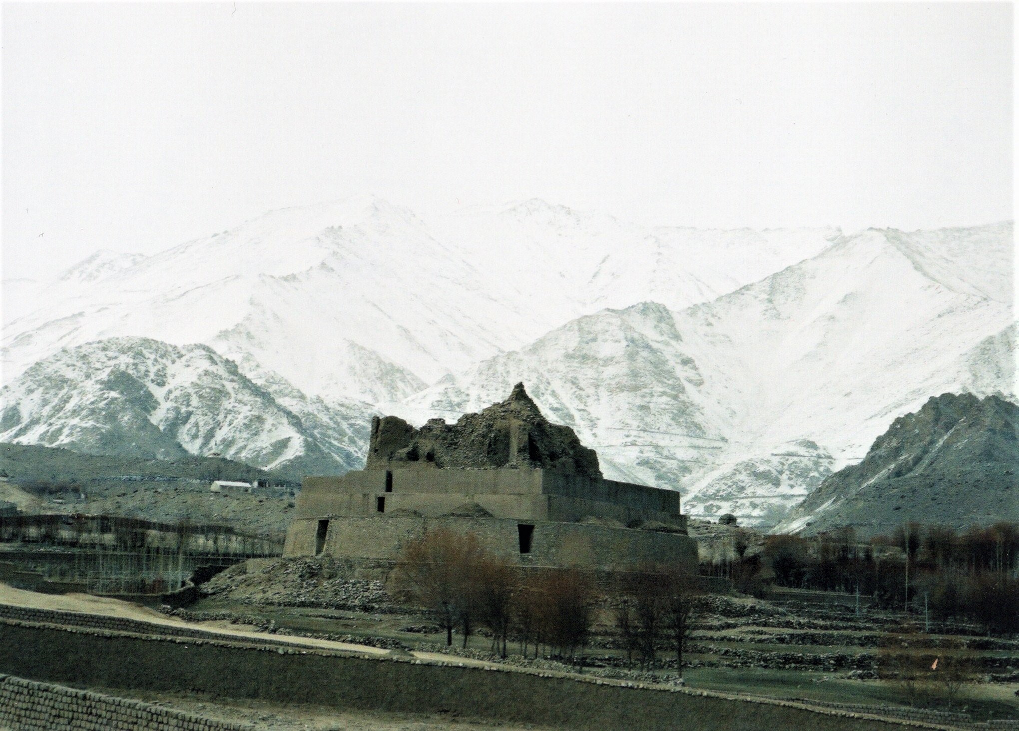
In 1988 I went to Nepal for the first time, travelling by bus from Delhi to Kathmandu. Although the trip took almost 2 days, and the bus was particularly uncomfortable, it was one of the most spectacular journeys I have ever taken, and a most remarkable experience.
And then I trekked the Annapurna circuit, still considered by many to be one of the 10 classic treks of the world. It took 24 days to complete, and from the time we left Ghorka, until the day we walked down into Pokhara, we were travelling entirely on footpaths and saw no vehicles of any description.
Part of the walk is now over a new road, and whilst this is surely welcome to the inhabitants of the region, I suspect that it takes away a little of the magic of the trek.

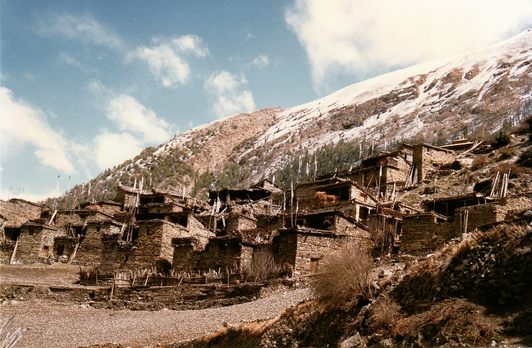
Village near Manang (posibly Mungji), on the Marsyandi River, close to the Annapurnas. In many ways, a typical Nepalese mountain village, it is built on man-made terraces, up steeply sloping mountainside, to avoid using any of the precious farmland available in the valley.
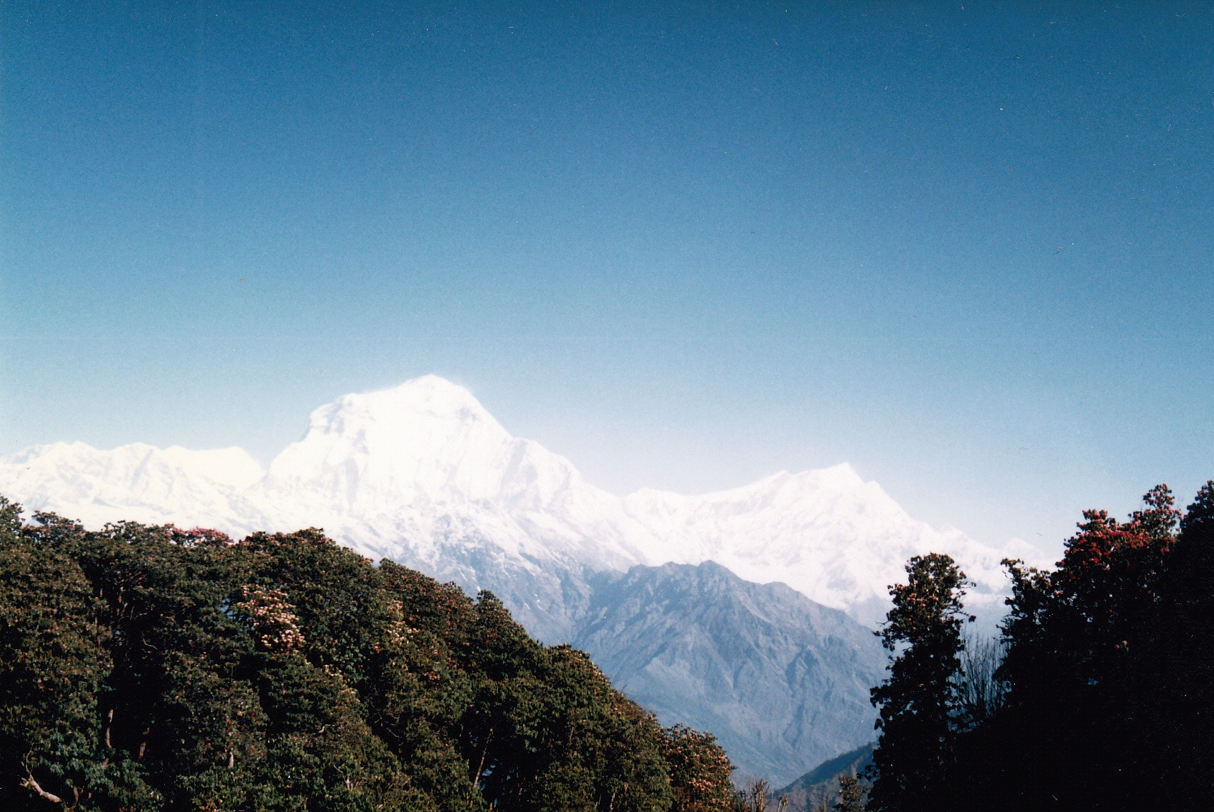
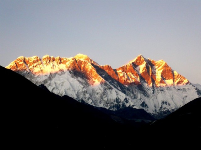
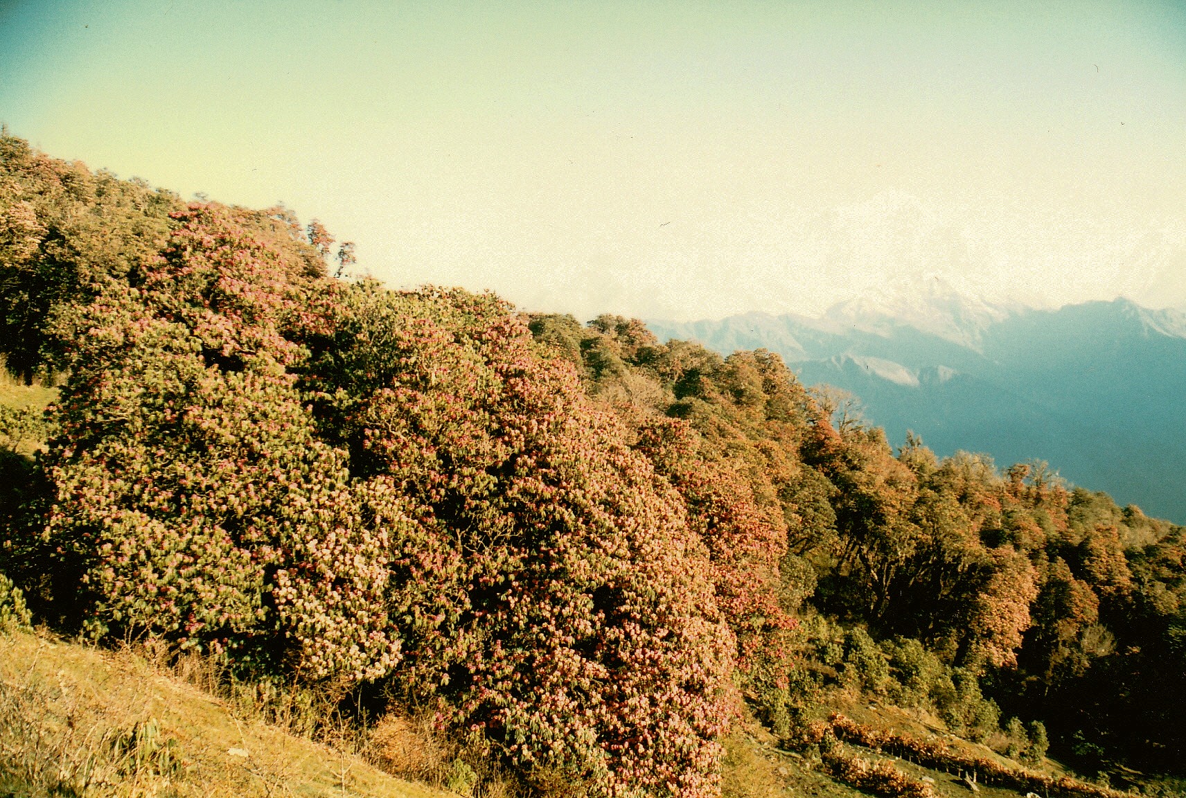
View from Poon Hill. Poon Hill lies a little to the west of Ghorapani on the river Ghora (pani being water), west of the Annapurnas. Sunrise there consequently occurs behind the Annapurna peaks, including the spectacular Machhapuchhare, or ‘fishtail’ peaks. That said, this shot was taken towards the west, looking across the Kali Gandaki valley.

This is dawn, though. Machhapuchhare and its double peak are shown clearly on the left.
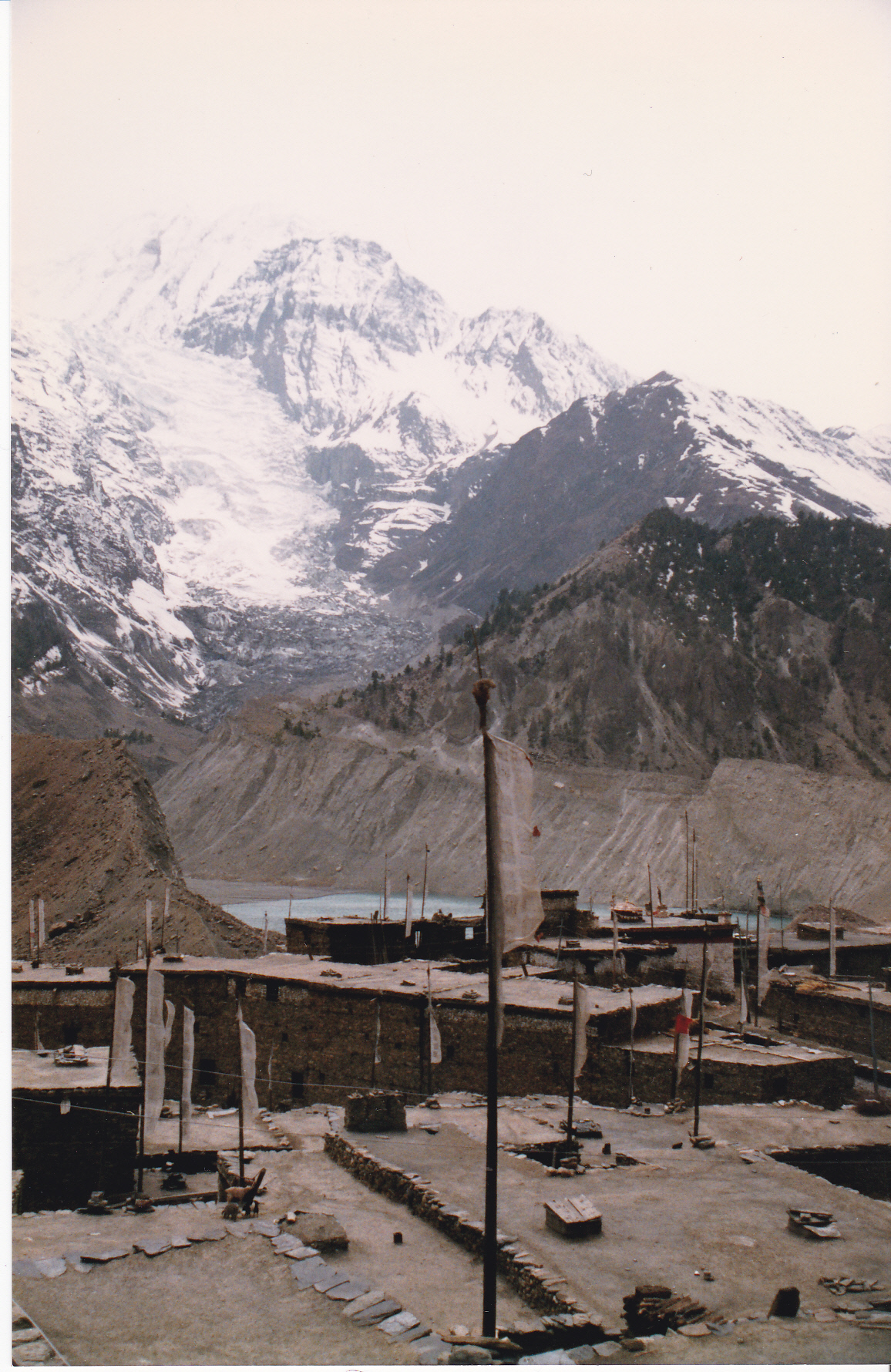
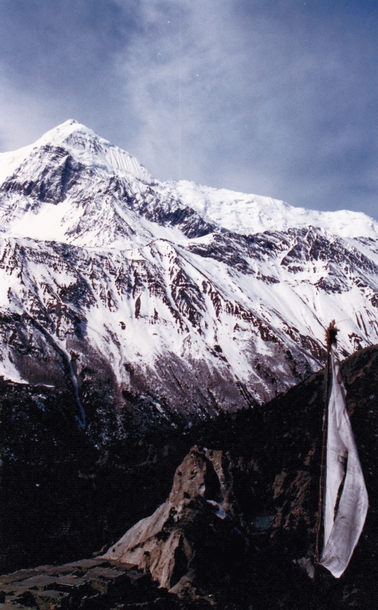
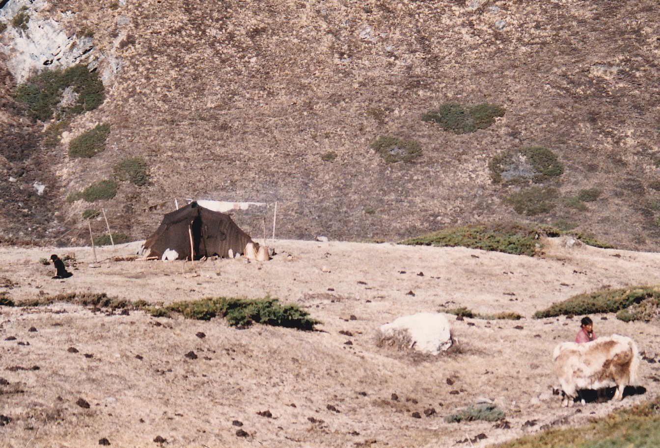
Mountains and glacial lake from the village of Manang.
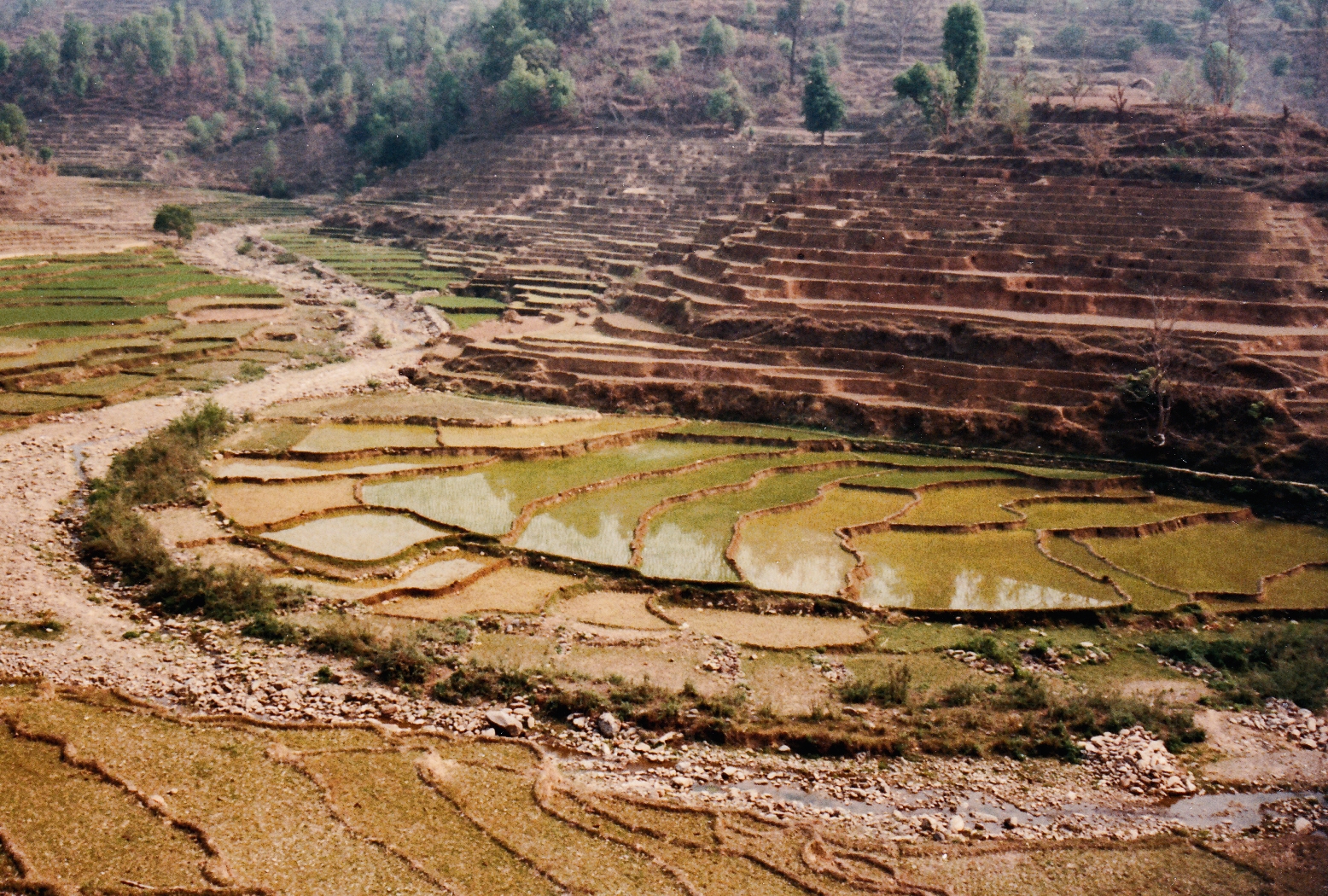
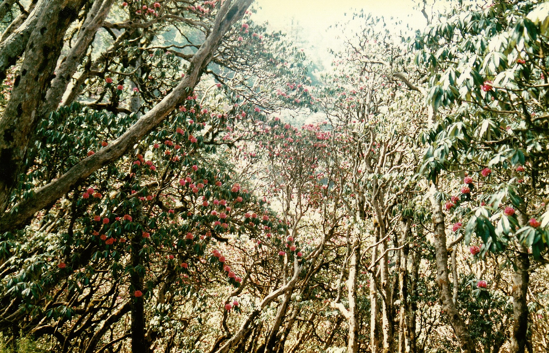
Lower down, the land is heavily terraced, fertile land being at such a premium that every available bit is used. These rice paddies are near the village of Chepe Ghat, on the Marsayandi River.

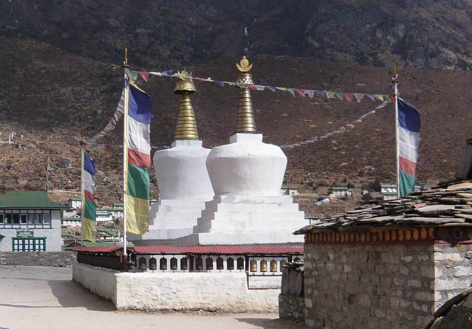
Chorten. Chortens, or stupas as they are also commonly known, usually contain relics of saints or priests. The original stupas held relics of the Buddha, such as at the Temple of the Tooth, at Kandy, Sri Lanka.

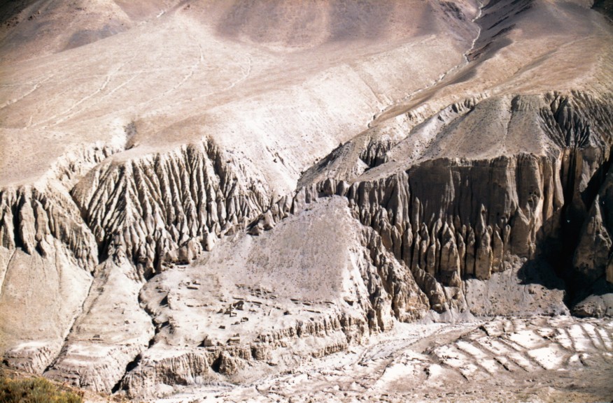
Mountains near the village of Muktinath. In the rain-shadow, here, the landscape is that of a high altitude desert.

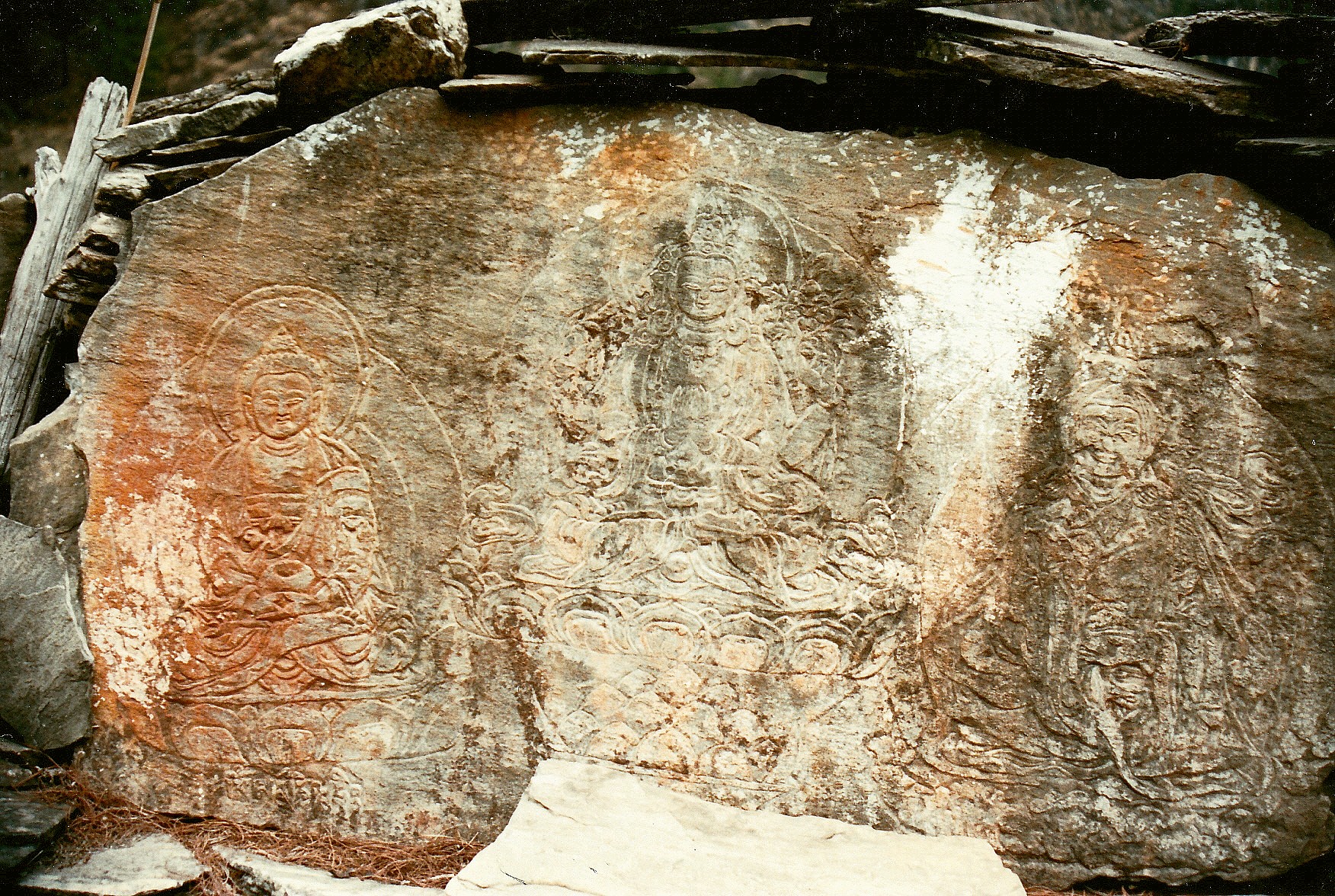
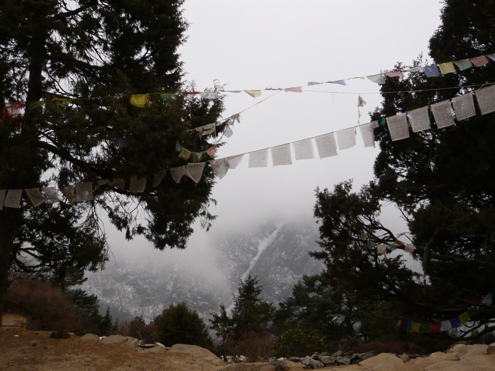
Mani stones on the Annapurna trail. Mani stones may be carved, painted or both, and serve a similar function to prayer flags, in that they either have a prayer or mantra carved on them (typically ‘Om Mani Padme Hum’ – from which the name ‘Mani Stone’ comes from – meaning ‘Hail to the jewel in the heart of the lotus’ i.e. The Buddha) or they may have a picture of the Buddha himself. Although they may be encountered singly or in small numbers by shrines or at Gompas, at times they make up huge walls containing many hundreds of stones, some of which may have been there for hundreds of years. These walls, like shrines or any other Buddhist relics encountered here, are passed on the left.

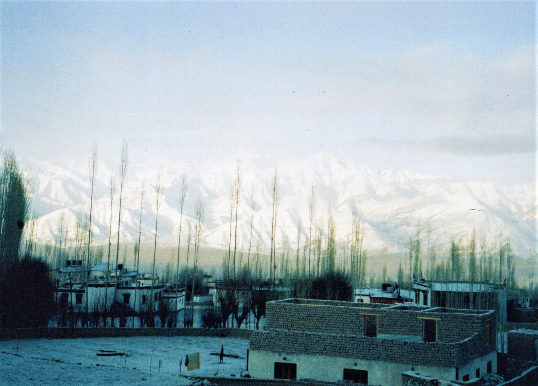
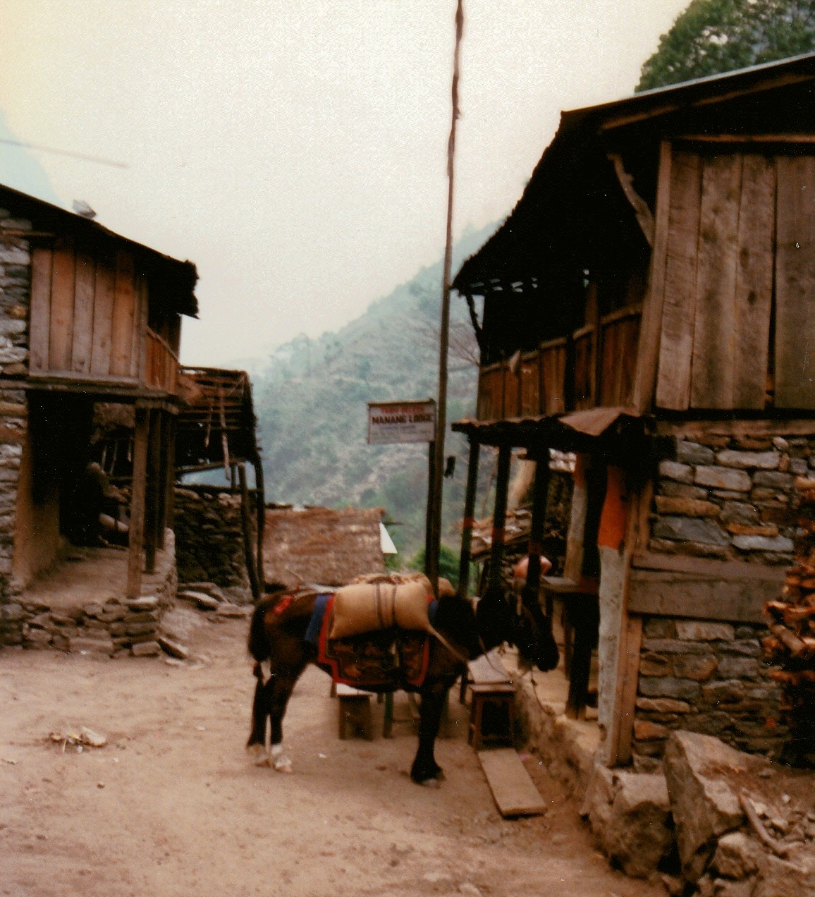
Houses at Manang.
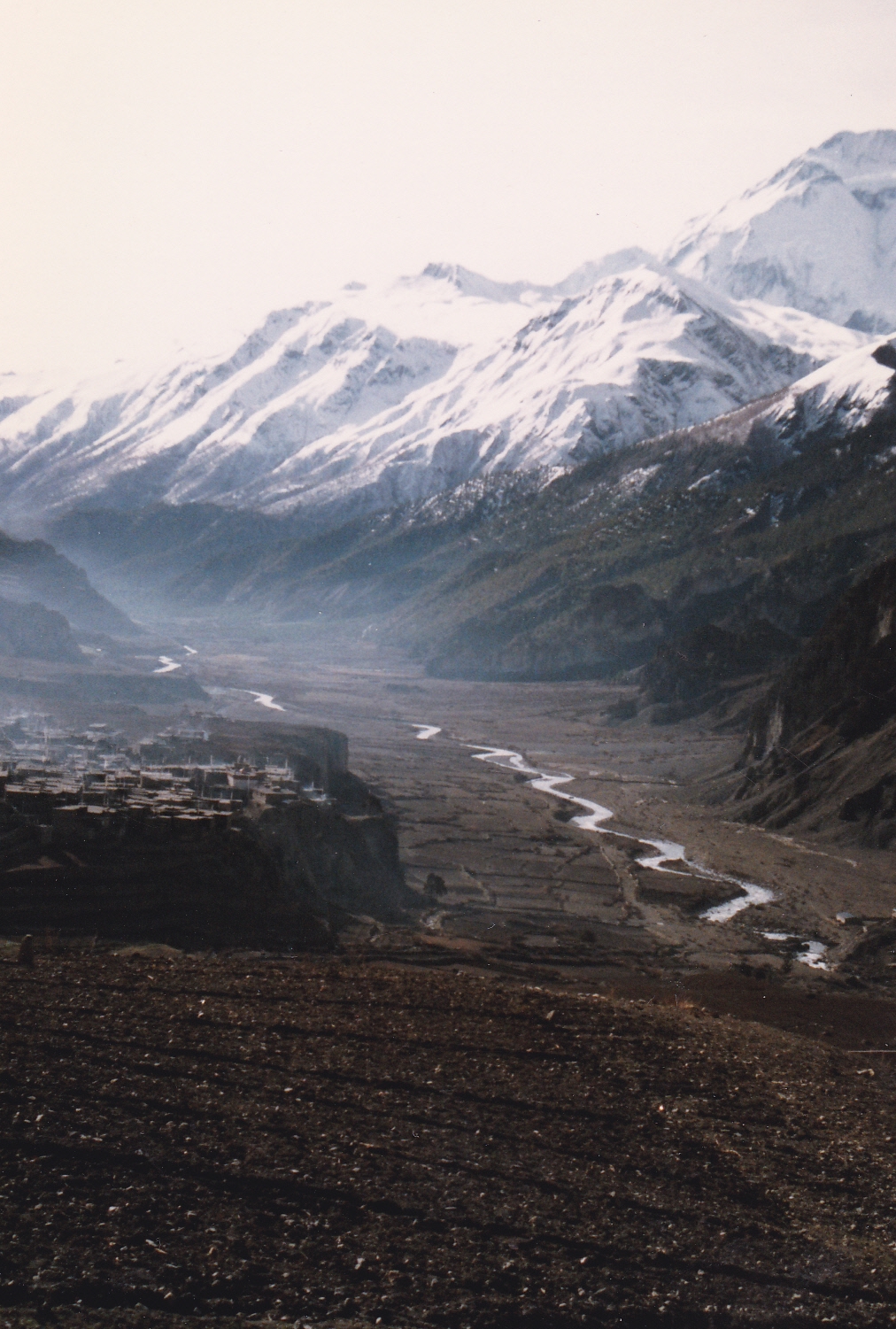
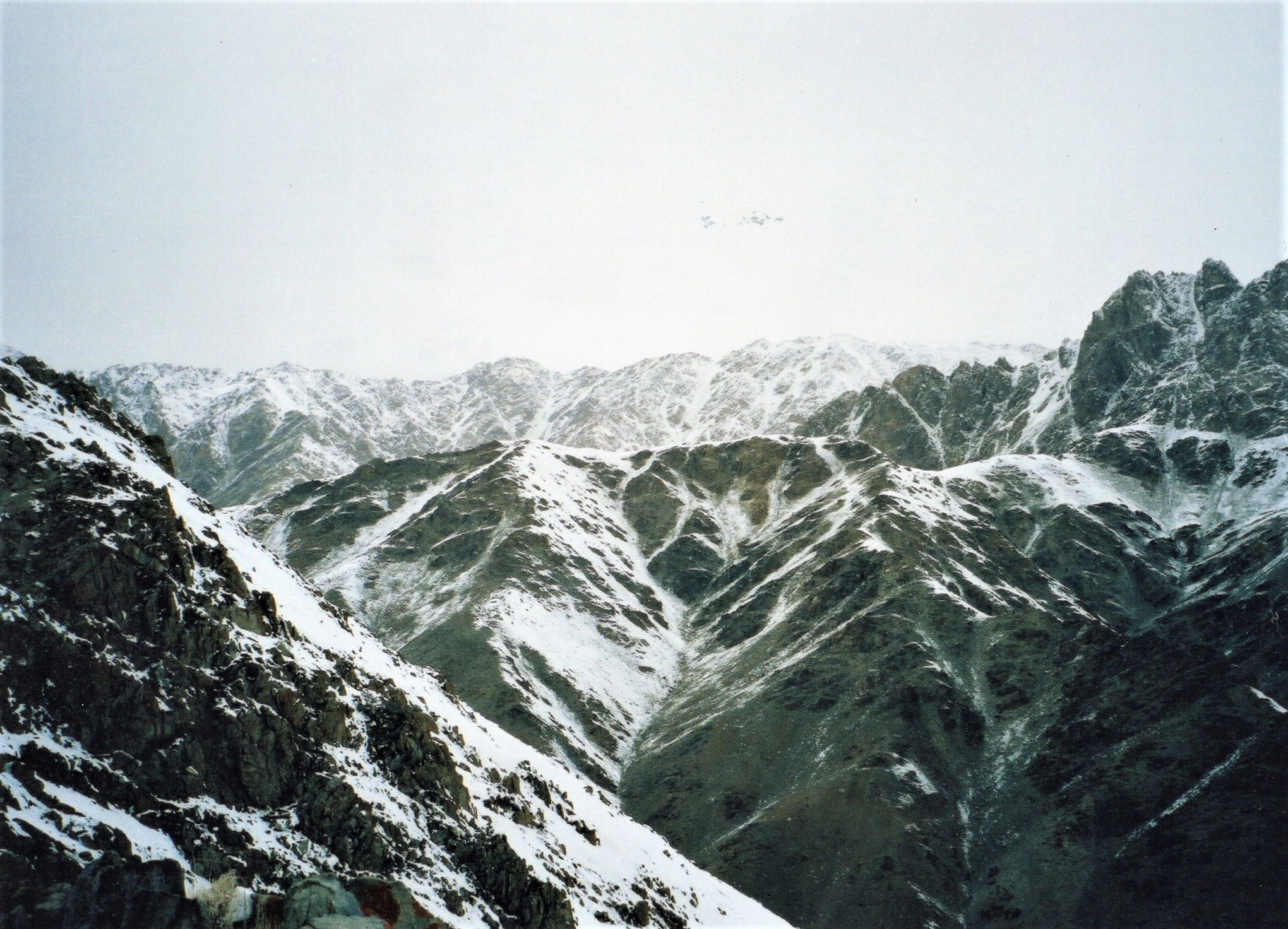
The Upper reaches of the Marsayandi, looking down to Manang.

Snowed in below Thorung La. Not an unusual occurrence. Thorung La is at 5415m (17,700ft). We arrived at our campsite early afternoon with the ground clear of snow and the sun out. This was the scene a couple of hours later, delaying our crossing the pass (‘La’ is Tibetan for ‘Pass’) by 24 hours.

Crossing Thorung La. On the day we crossed the pass, we left camp just after 4 in the morning, and were down the other side by late afternoon.

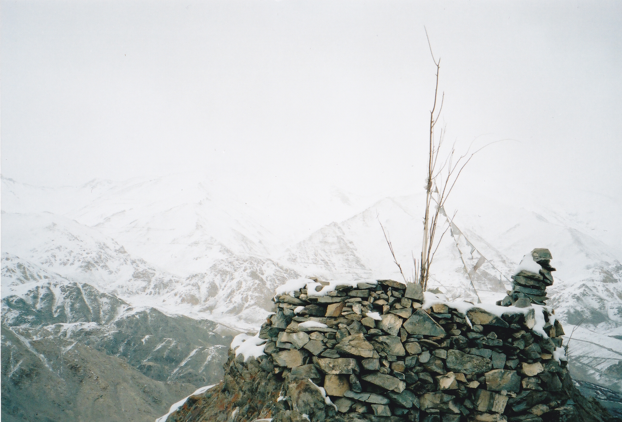
Looking west (and down!) from Thorung La). On this side of the pass there is far less precipitation and the land is noticeably drier. This is looking towards Muktinath.