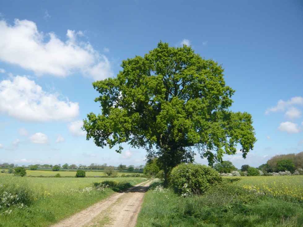
I was talking about hop pockets and pokes last week – and pigs, of course, which was how it all started, but forget the pigs for now. Let’s stick with the pokes and pockets. At the weekend we went for a walk through a part of Kent we hadn’t walked for a few years and part of the walk took us through this field:

This was a hop garden many years ago. Conveniently close to the oast houses so that as soon as the hops were picked they could be taken in and dried before there was any chance of them spoiling. Taken in bagged up in pokes, and once dried shipped out to the brewers in pockets. A word of explanation for those not familiar with these terms: hops are not grown in fields, they are grown in gardens. Not like your or my back garden, but like a field. But a field full of poles. Hop poles. With huge cable-like wires strung between them to support the hop bines as they grow.
When they are ready for harvesting, the bines are pulled down and the hops picked and put in pokes – large sacks (but you knew that, of course. You remembered it from last week). Then once dried they are shovelled into pockets – another size of sack.
And what are the hops for? Making beer, my friend. Lovely beer.
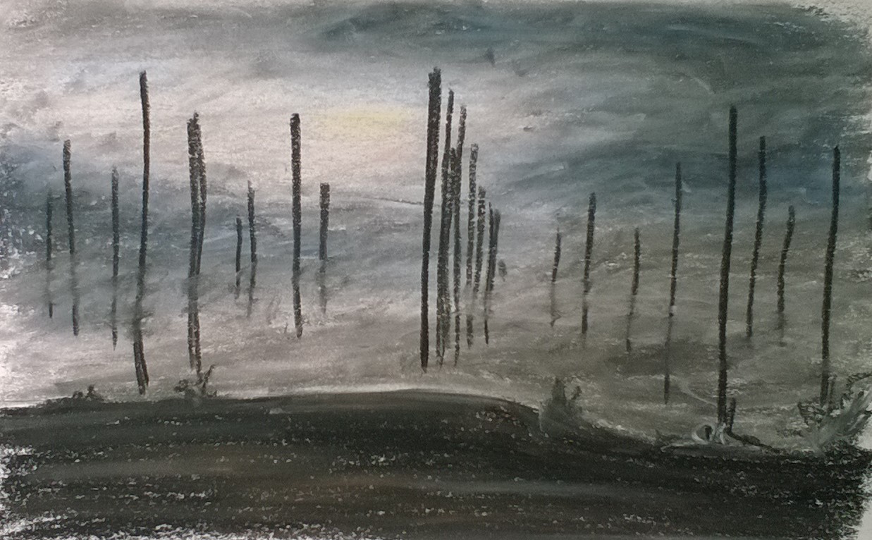
I don’t have a picture of the hop garden from back then, but late one cold, misty, autumn night about thirty years ago, I walked through it and the eeriness was instantly imprinted on me and once I was home I felt compelled to make an oil pastel painting of it (below).
Anyway, as I said I don’t have a photo of the hop garden in question, but this one from Pixabay illustrates very nicely the hop poles and wires with the growing hop bines growing up and across them:
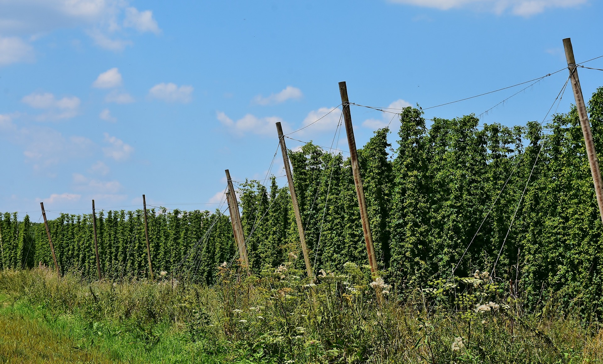
Image by -Rita-👩🍳 und 📷 mit ❤ from Pixabay
The poles were supported by wires kept under tension, anchored into the ground around the edge of the garden. Quite a few of these are still in situ around the very edge of the field and just into the woodland and hedgerows bordering it.

In 1872, there were 72,000 acres of land in England growing hops, the majority of these being in Kent, employing over 100,000 seasonal workers at picking time. By 2003, the acreage in Kent was down to just over 1,000 and for the first time ever the county had been overtaken by Herefordshire, which now grew more, although the decline does at least appear to have halted for now. In 2011 there were a total of just over 2,500 acres under cultivation in England but it is such a small number there were fears the industry could die out. Although hops are still used in beer brewing, much of the requirement is imported, especially with a popular shift towards less bitter-tasting beers. But in much the same way that Kent has also lost a huge percentage of its apple orchards, a once rich and diverse farming landscape has become more and more homogenised, with endless huge fields of arable crops and sheep and cattle replacing the hop bines and apple trees.
I spent one autumn apple picking around thirty years ago and the farm I was working on had a large acreage of hop gardens (both apples and hops all sadly gone, now). It was an incredibly busy and bustling time, with our diverse group apple picking – a mixture of locals and Europeans come over for the work – and a traditional mix of workers in the hop gardens; as well as locals, there were a lot of gypsies and possibly still a few people down from London’s East End, which was a traditional way for those workers to make some extra money in the nineteenth and early twentieth centuries. It was busy, noisy, very hard work, and a lot of fun.
And, not surprisingly, there are a number of traditional songs about hop picking. So here is the wonderful Shirley Collins and the Albion Dance Band to perform ‘Hopping down in Kent’ especially for you.


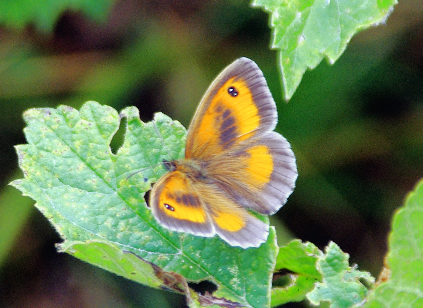
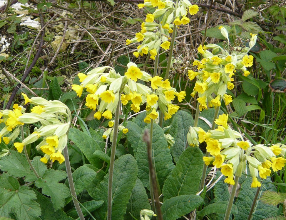
 found stag beetles and slow-worms, caught minnows and sticklebacks, and absorbed a lot of knowledge about trees and birds and insects and mammals from books and TV programs and just being out in the country.
 and kingfisher and acorn are words that the majority of children today are unfamiliar with – something that would once have been unthinkable. And this disconnect seems to me the saddest thing. So much of our very rich heritage has a rural background, be it music or literature, architecture, leisure activities, or traditional crafts. And the same is naturally true for most countries and societies.