A Scottish Coast to Coast Walk (2)

20th June 1994

It rained during the night, but when I emerge from my bivvi in the morning it has eased to an occasional drizzle. Down the valley to the east, the sun is glittering on the trees, while the hilltops are shrouded in cloud. Cotton grass and heather dance around me in the breeze, and it is warm.

Glen Coiltie, looking west.

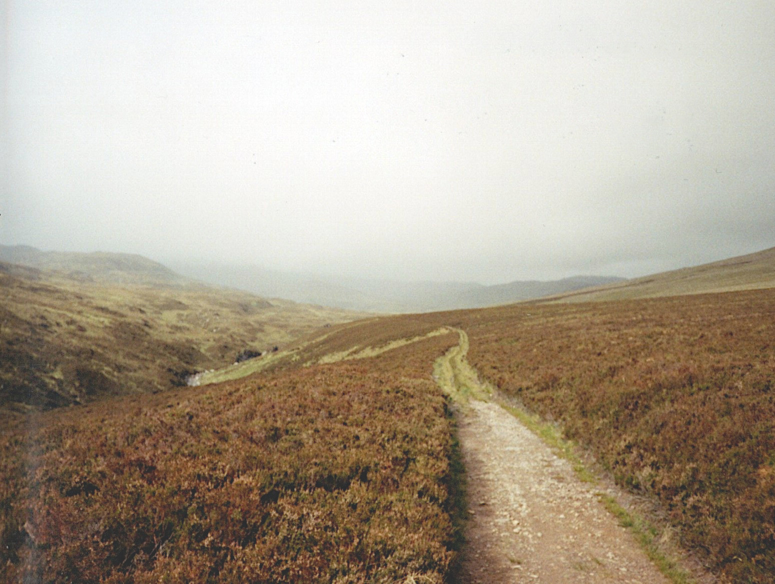
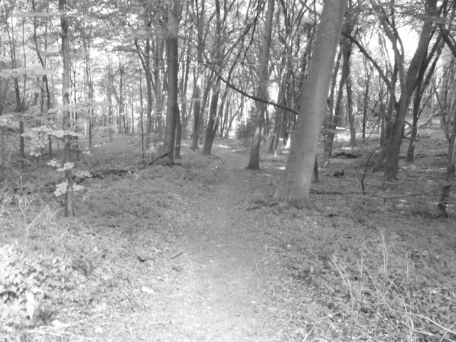
Through the morning, I work my way further west up Glen Coiltie, the wind slowly increasing in strength and the drizzle turning gradually to heavy rain. When I top a final ridge and begin to head down towards Loch Aslaich the wind positively howls. I plod along and gradually up onto a plateau where the path simply disappears. With the low cloud drifting across at ground level this becomes a good test of my navigational skills.

The weather worsens again. At times I stop just to retreat further into my waterproofs rather like a turtle withdrawing its head into its shell. It is a lovely landscape, desolate and wild, but just too wet and windy to enjoy, never mind even to think of taking any photos.

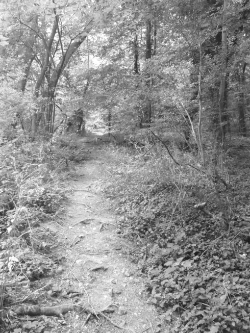
By the evening I am alongside Loch Beinn a Mheadhoin, after a long, wet, day. For a couple of miles I had been looking for somewhere to camp, but the path was through old pine forest and the ground was several feet deep in fallen logs and branches, all covered in moss and lichen. Eventually I find a spot near a waterfall amongst a few birches at one edge of the lake. It is a lovely spot, but I know what will await me in the morning.

21st April 1994

I unzip my bivvi and immediately a huge cloud of midges descends upon me. I forego breakfast for the moment and pack up as quickly as I can, flapping my arms around ineffectively and swearing my very bestest swears.

Not the best place to camp, beside open water with lots of tree cover

Soon enough, though, I am away from the water and ahead of me snowy peaks rear up above the trees. The thrill is upon me again! As I walk through the morning, the clouds are lowering and thickening again, but for now the rain holds off, for which I am thankful. It had been so wet the previous day the rain had managed to soak everything inside my rucksack. During the night I had gradually brought maps and clothes into my sleeping bag for my body heat to dry out. By the morning probably about half of it was dry.

It is colder than yesterday. The snowline looks to be lower here; I am at about three hundred meters and there are pockets of snow level with me on the mountains nearby. But with the improved weather as well as the scenery, my mood is much better and I am enjoying just being part of the environment. It reminds me of other walks and treks I have done – I keep thinking of Nepal! – and in this mood the miles seem to melt away as I walk. The previous day, at one point I had managed less than five miles in three hours up on the plateau in the atrocious weather, so this day is a huge improvement.

The Five Sisters in the distance and Creag a Chaorainn on the right,

I follow a river for a while, and where the water is moving slowly I can really appreciate how beautifully crystal clear it is, even though it has a deep brown hue from the peat. There are tiny orchids in the grass, although I don’t know their name, but few other flowers just here.

An Tudair on the left and Sgurr na Lapaich on the right

And now I pass a couple of walkers and we stop for a brief chat. These are the first people I have seen since leaving Inverness and although yesterday the weather was so bad that only idiots would have been out in it (or one idiot, anyway), in a world of five and a half billion people, to spend a whole day travelling without seeing another soul from dawn to dusk is an increasing rarity.

River Affric near Athnamulloch. The sheep track is so worn it has almost become a tunnel.

I stop for an early lunch and then soon after I set off again I find the path disappears in a particularly boggy area and, predictably, it begins to rain. I take a compass bearing and step forward cautiously. Half a kilometre later I find the path again and the rain stops. Now I go uphill again, over the Eionngleann (lots of these names sound as though they come from Lord of the Rings), down into a long valley where the weather comes in again, and down to the village of Carn-gorm. The village sits at the head of Loch Duich, which joins Loch Aish and this opens up to the Atlantic Ocean. I’m definitely in Western Scotland now. Now to see if there’s anywhere in the village to get a pizza or something more interesting than what’s left in my rucksack.

Eionngleann
Looking North West down Gleann Lichd, my route down to Carn-gorm

The Joy of Unknowing (2)

As soon as I had written my last blog post, I thought of this piece I wrote quite a long time ago which offers a similar take on travel and navigation. I am tempted to tidy it up a bit and perhaps update it to mention GPS, but instead I’ll leave it as it is.

Untitled-Grayscale-01

When I was a teenager, I began to use maps, although in rather an ad hoc, hit and miss manner. They were there for me when I was really stuck, or just wanted to know which general direction something lay. It would be a very long time before I began to use them in a careful, detailed way, able to predict the exact lie of the land, navigate in the fog or the dark, find my way through complicated landscapes with the map and compass. And, do you know, since I’ve learned to do that, I feel as though I’ve lost something rather magical, although I don’t suppose that I can blame it all on that. The maps that I was using as a teenager would tend to be the Bartholomew’s touring maps, small scale with little detail. I would feel, as I headed along a Cornish footpath, that I only knew roughly where I was going. It felt like an adventure, an exploration.

Untitled-Grayscale-02

Now, I need to be more and more remote to get that feeling, and even then it does not always work. Having just spent some time in Ladakh, in the Himalaya in the far north of India, I was surprised at just how easy all of my walking was. Setting off with map and compass, I always knew exactly where I was, only confused at times by the multiplicity of tracks criss-crossing the landscape. Even then, reference to mountains and villages with map and compass would invariably allow me to set my position. It doesn’t mean that I wanted to get lost, just that there was a small part of me that said ‘even this is all tame!’ Equally, I can be put off, by using the map, by the knowledge that over the interesting looking ridge that I was heading for, lies a motorway or building estate, and so I spend ages trying to plot a route that I try to get perfect, rather than simply heading off in the direction that I want to go and exploring as I go, correcting my course as I travel.

Nothing can tempt me more than a track leading tantalisingly into the distance, perhaps meandering through Mediterranean scrub towards a notch in the skyline, perhaps leading through a glowing archway of trees. Even now, when using map and compass to navigate, I often have to resist the temptation to ignore the map and head off to follow an interesting looking track. I think that this must be a part of my ‘I wonder what’s over the other side of the hill?’ nature. It is another reason why I’ve never been able to lie on a beach – apart from the fact that it seems a particularly pointless pastime in any case. Any time that I’ve tried it, it never seems to be more than a couple of minutes before I begin to think ‘What’s round the cliff?’ or ‘If I head back up the river, I think I might find a way through those hills.’ And then I just have to go to find out.

Just Look at Ghat!

Ouch! Probably my worst title yet!

I can’t help it…I’ve not been well…

…well, only a cold, but you know what we men are like.

In another attempt to feel instantly better, I’ve nipped across to North India (only in my imagination, unfortunately), to picture Kedar Ghat, on the banks of the Ganges, in Varanasi.

056a

Ghats, a Hindi word, are sets of steps leading down to a river (and also mountain ranges or passes – The eastern and Western Ghats in Central India). It has also come to mean a level place at the edge of a river where Hindus cremate their dead.

In Varanasi, there are between 84 and 87 ghats, depending upon who you get this information from,. The Manikarnika Ghat, or Ghats (possibly this is the origin of the confusion over the number) is the ‘burning ghat’, where cremations are carried out 24 hours a day, all through the year. The source fire there has supposedly been burning for thousands of years, but photography is actively discouraged, hence my only shot is one taken from a distance.

046a

Of course, the ghats are also used for bathing. Hindus bathe en masse there, as a dip in the Ganges is meant to wash away sins. Important pujas (ceremonies) take place at sunrise and sunset. Boat trips to view the ghats are very popular, and finally much of the city’s laundry gets done at the dhobi ghats (dhobi meaning laundry).

040a

Namaste!

Ladakh 3


IMG_0027

The Wheel of Life, Tibetan Buddhist wall painting, Thikse Gompa. The Wheel represents the cycle of being, the various realms of existence, and the three poisons (desire, ignorance and hatred).

IMG_0026

View of the Stok Mountains, Part of the Himalaya Range, above farms and poplars on the edge of Leh, Ladakh.

From my diary, Friday 15th April 2005:

Outside, my hosts are planting their potatoes, today. It’s been fascinating watching over the last week, as they’ve dug over the whole vegetable garden (about an acre), then divided it up into a total of about fifty smallish and four large plots, all neatly divided with earth walls, between which are carefully dug channels to the stream that runs along the side.

Then, over the last couple of days, half of the plots have had compost dug in and the channels opened one by one to flood each plot for a set time, then closed and the water allowed to soak into the earth.

The first of the large plots is now being planted with potatoes, presumably saved from last year’s crop, and some more digging is commencing at the far end of the garden, where so far there are no small plots.

I’ve just noticed what’s happening at the far end of the garden. It’s going to be one huge potato patch. Dad is digging, Mum is planting, whilst Granny is sorting the potatoes ready for planting. The little girl is happily employed in making mud-pies, like small children anywhere in the world under these circumstances!


The monastery at Thikse, Ladakh. Virtually the whole of the hill is covered in buildings belonging to the monastery, whilst the Gompa or temple crowns the top. Founded in the fifteenth century by monks of the Gelugpa, or ‘yellow hat’ school of Tibetan Buddhism, to which the Dalai Lamas belong.

Wednesday 13th April 2005:

12.45 and I’m sitting on a rock in hot sunshine at the foot of Thikse Gompa. The bus ride here was remarkable. Where else in India would you find that they don’t bother charging anyone for just going a couple of stops, or that they’d wait a few minutes whilst a passenger nipped off the bus to buy some bread? All along here, passed all this desert scenery, so similar to Oman. And so many fairy-tale castles and palaces and the like hanging precariously to the tops of cliffs. 

IMG_0028

Building at Thikse Gompa.

If it is so beautiful now, in winter, then what must it be like in the other seasons? I’d dearly love to come back to see! And after all the heat, dust and pollution in Delhi, well, need I say more? I’ve not even been asked once for baksheesh, either. 

Mandala painted onto roof of entrance to Shanti Stupa, Leh. The Shanti Stupa, or Japanese Peace Pagoda, is one of more than 70 built around the world by the Japanese Buddhist Nipponzan Myohoji Organisation, which was run by Fujii Guruji. They were built to promote world peace.

indus at chog

The River Indus at Choglamsar . The Indus originates in Tibet, near Lake Mansarovar – a lake sacred to both Hindus and Buddhists – and after flowing through Northern Kashmir, including Ladakh, passes into, and flows the length of, Pakistan, to the Arabian Sea. So, ironically, the river that gave its name to the state of India, flows mainly through Pakistan.

trees

Trees on the edge of Leh. Trees are highly important to Ladakhis – they provide timber for building, fuel, food in the form of walnuts and apricots, and fodder for animals. In all of Ladakh, the only trees that grow are willow, poplar, walnut and apricot.

More Random Stuff; this time, Artworks

Creatively, for me this week has been rather a damp squib.

I have managed a little writing and research on ‘The Assassin’s garden’, but I’ve not had a very good week, one way or the other, and am just not up to writing a blog today.

So, the easy way out.

This is a somewhat random mix of some of my paintings from the last 10 or 15 years.

rock-no1

An oil pastel painting of a rock structure a few miles away from where I live – it looks to be a heavily abstracted painting, but is actually reasonably accurate!


chestnuts

A watercolour – chestnuts in autumn.


summer-medway

A chalk pastel – alongside a nearby river, The Medway, in summer.


nepalese-village-door

Another oil pastel – a door in a house in a village in the Khumbu region, Nepal.


007

Charcoal on paper – Musician.


dusk

Acrylic on canvas – Dusk.

I think that’s suitably random; I’d be surprised if anyone could find a theme there, other than ‘paintings’.

Have a good weekend, everyone.